The town the Recreation Commission serves. Every photograph on this page can be swiped, and clicked to fill the screen. The archive sets follow underneath — postcards, the 1938 Farm Security Administration series, the air base and the fire insurance maps.
Looking for photographs of the Commission's own events? The National Night Out 2026 gallery has the full set from the evening at Beacham Park.
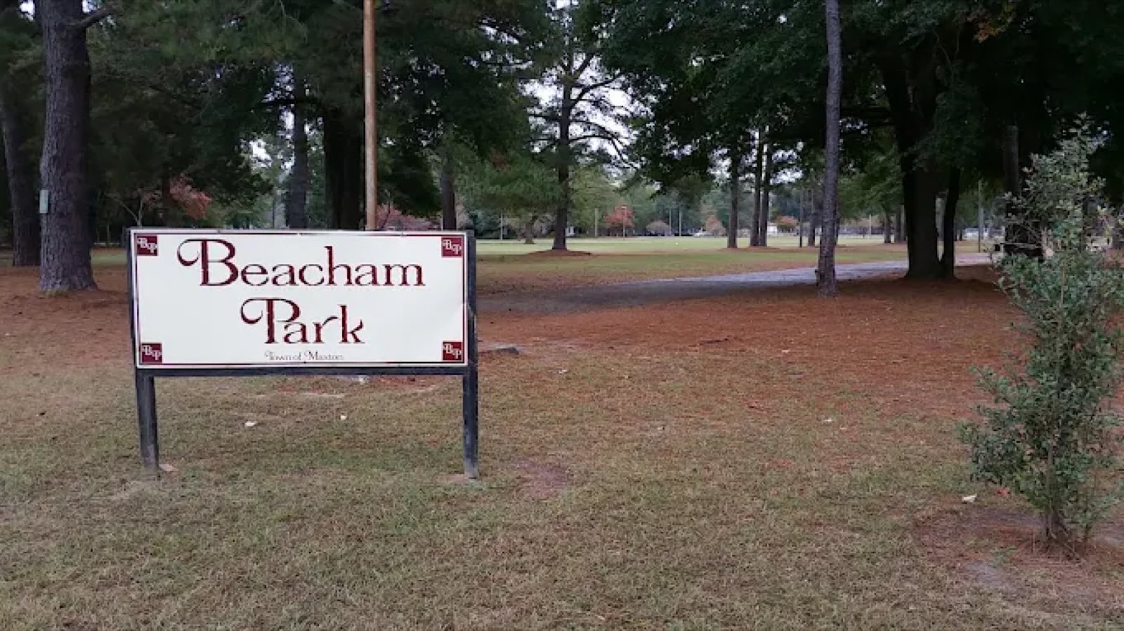
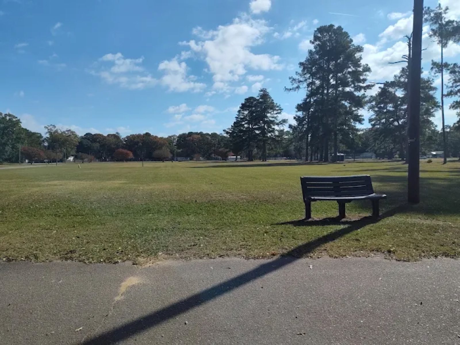
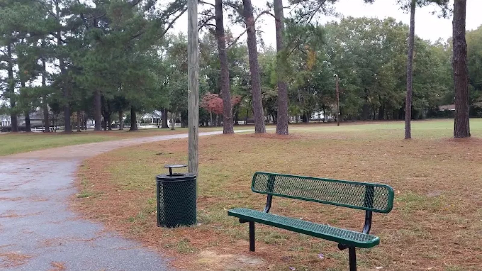
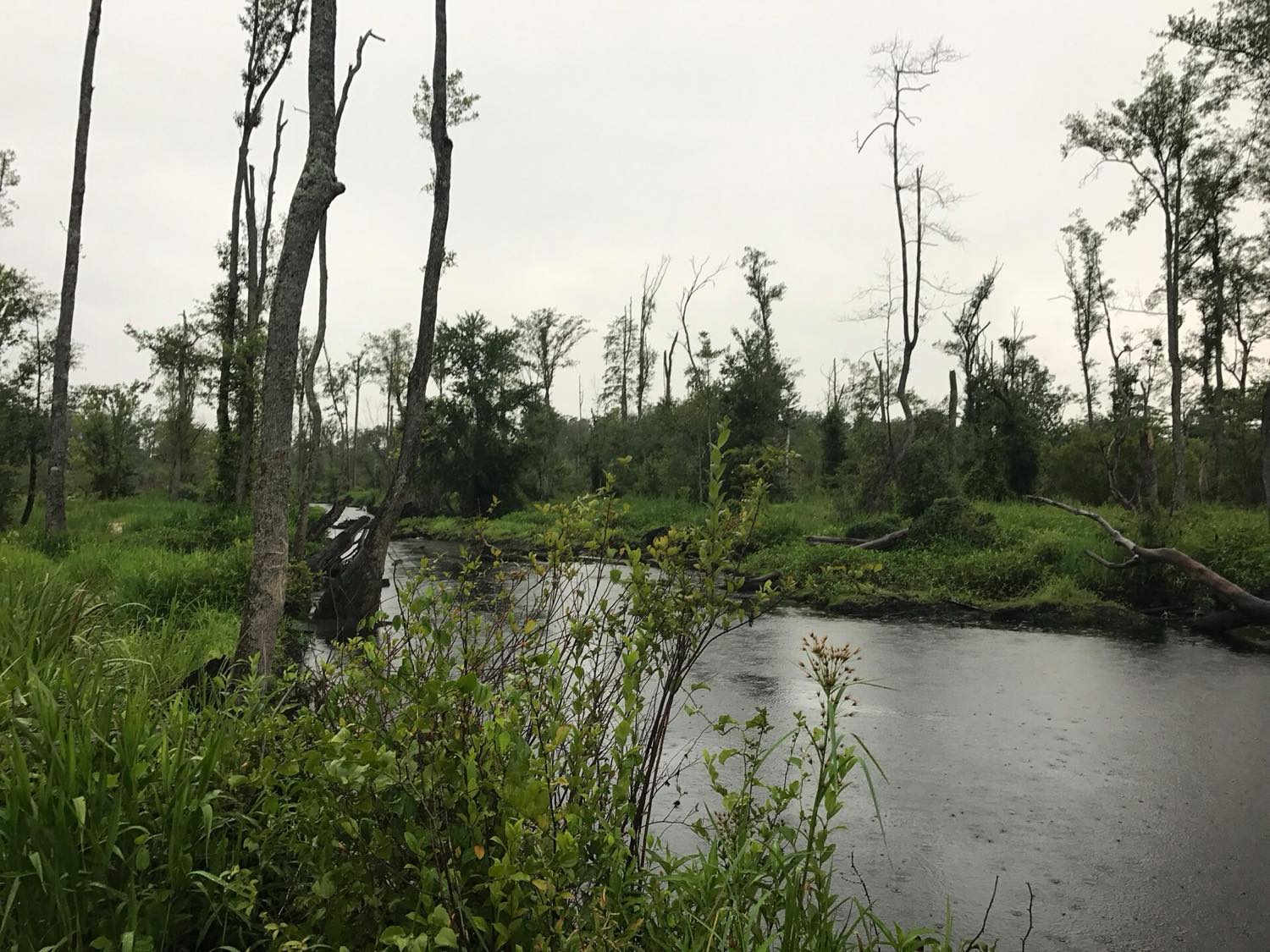
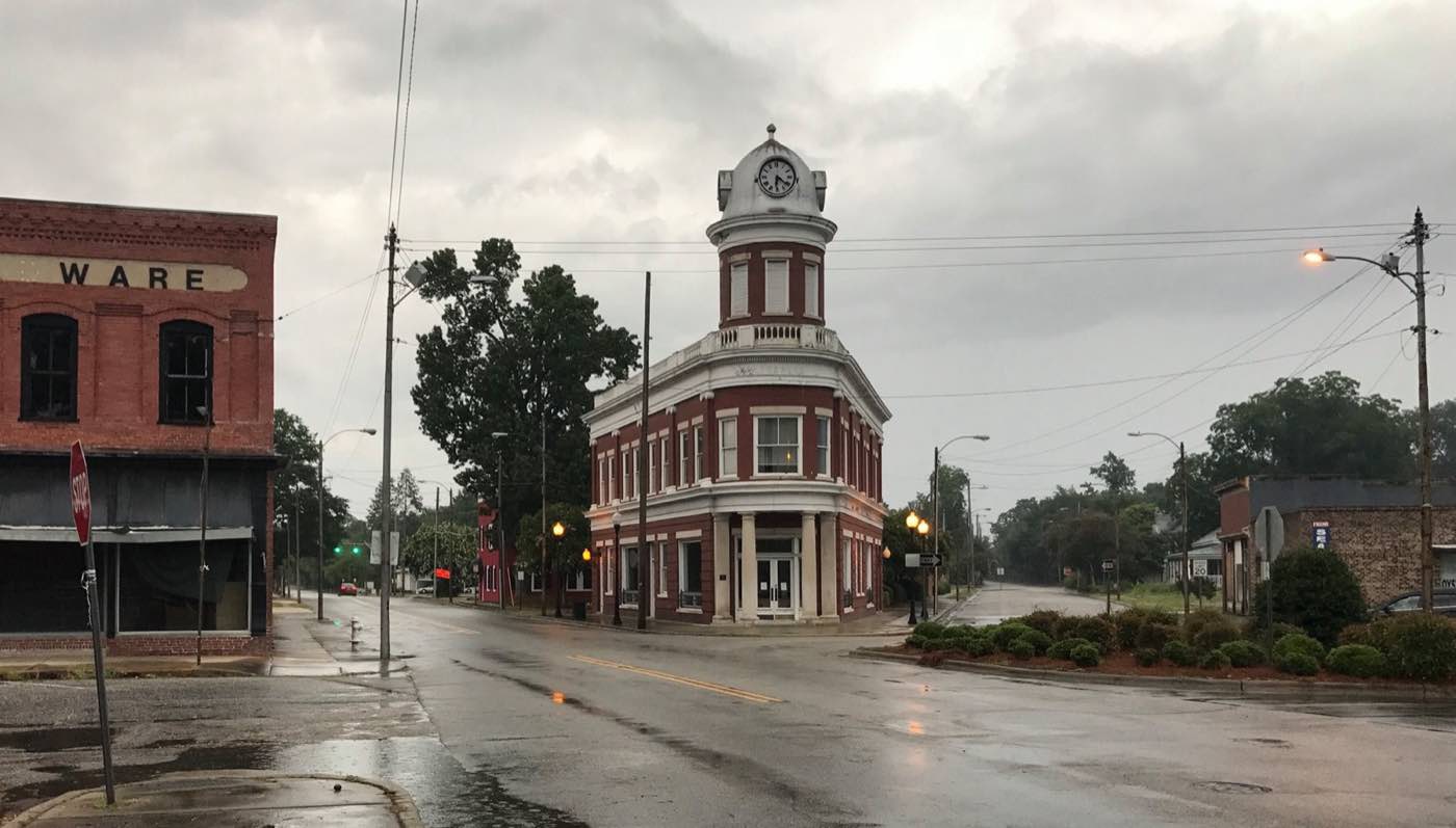
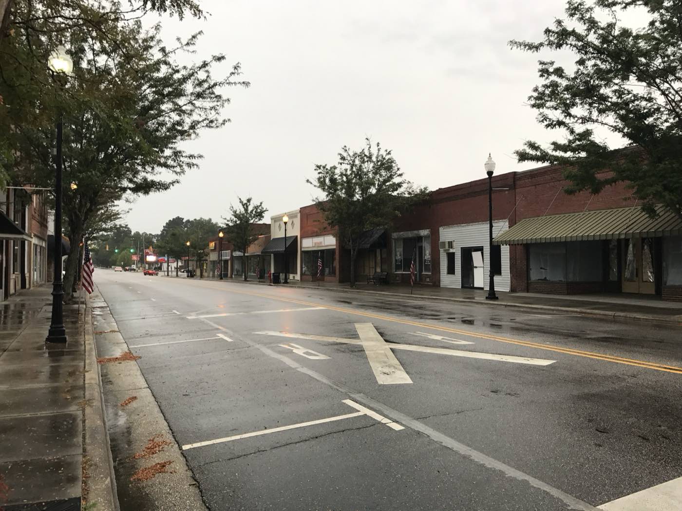
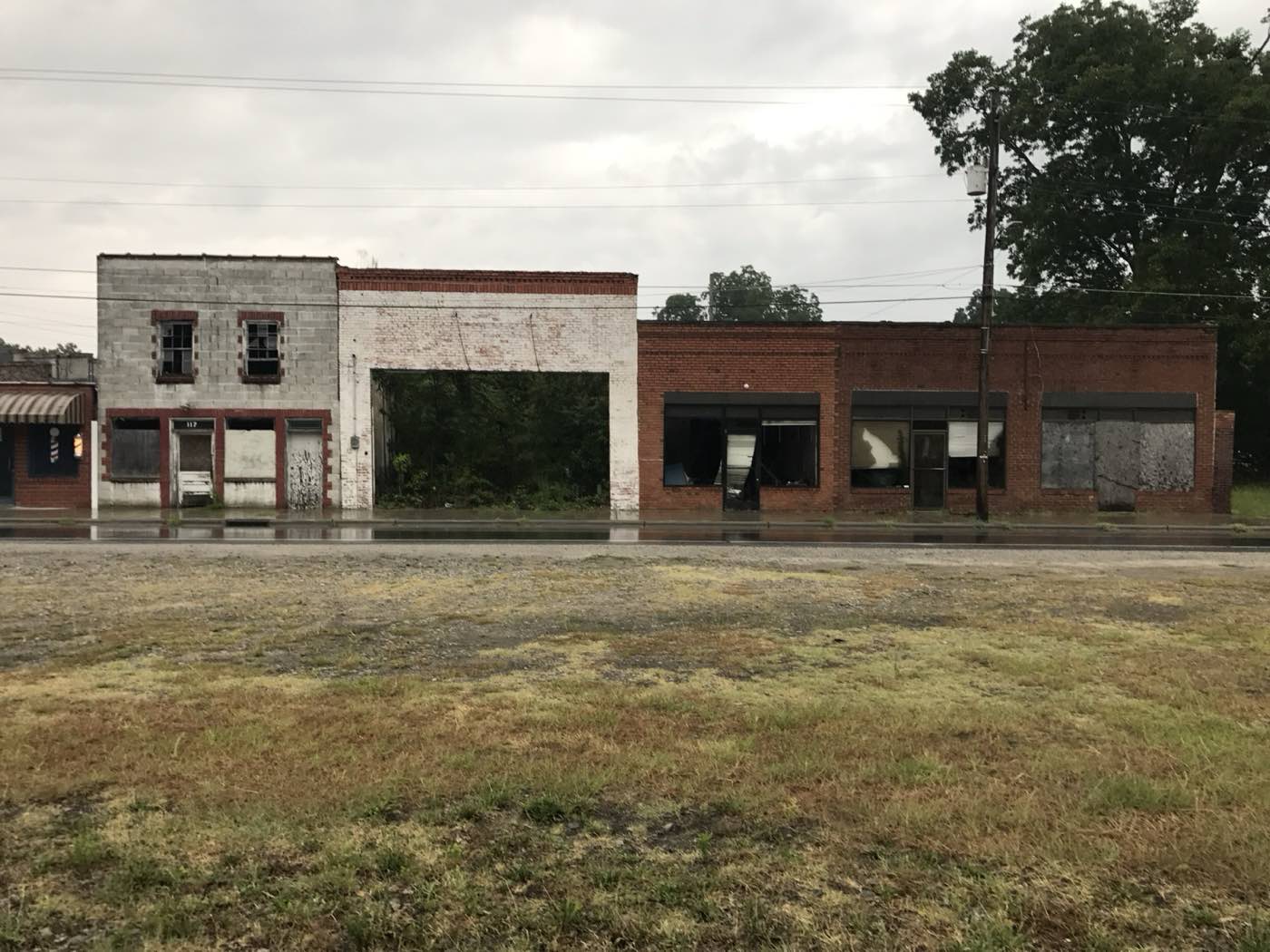
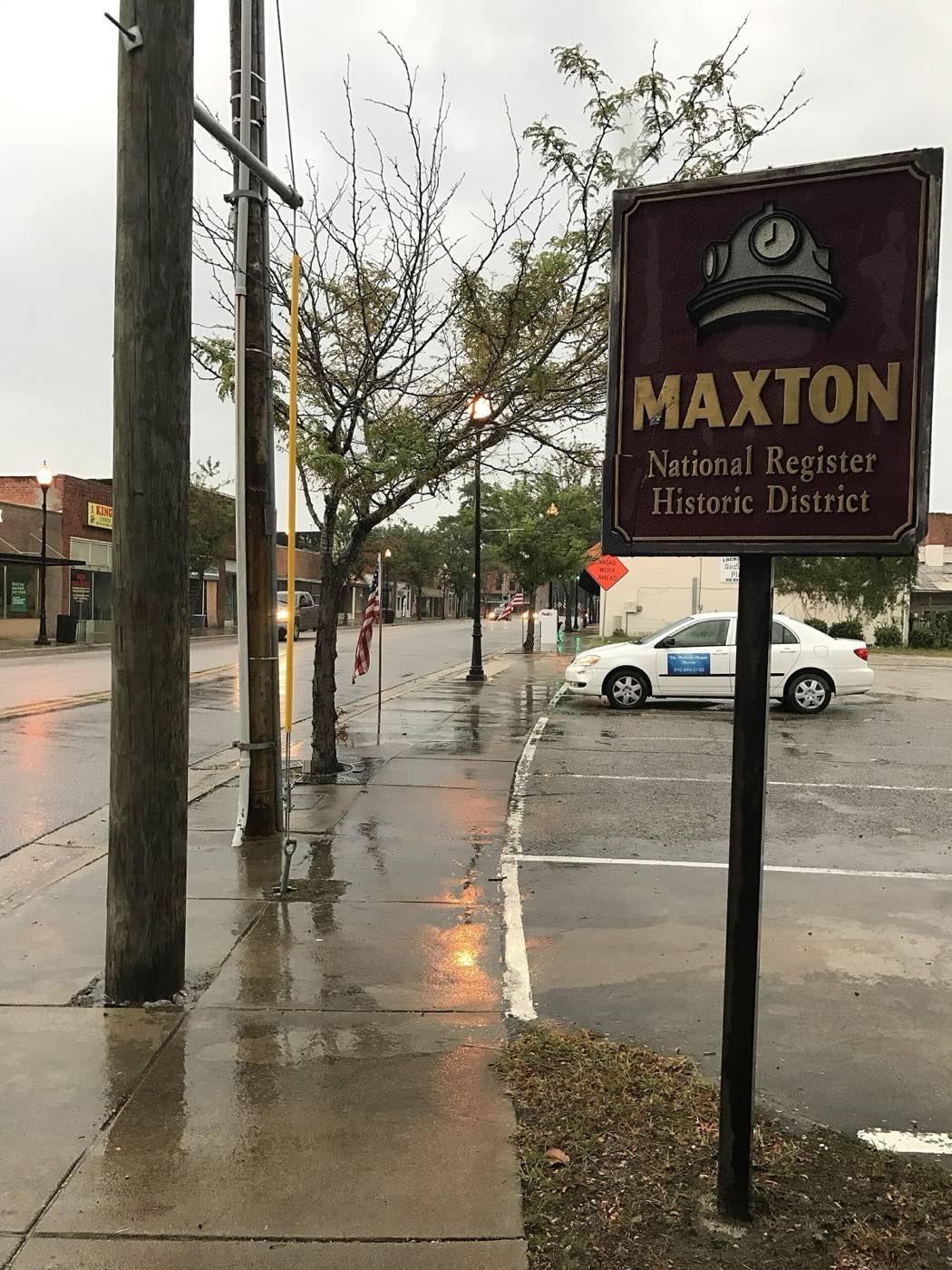
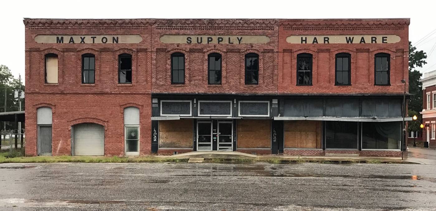
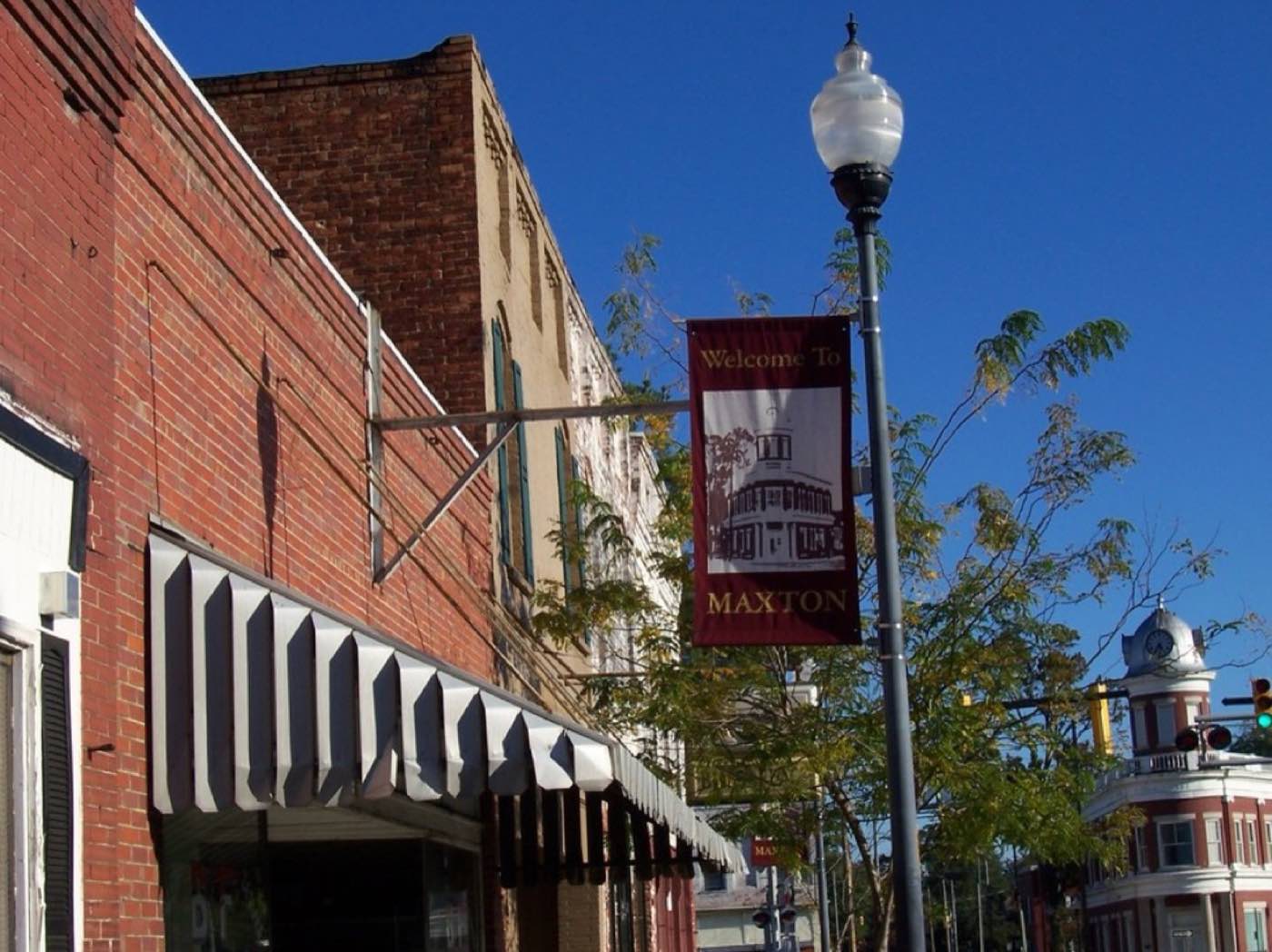
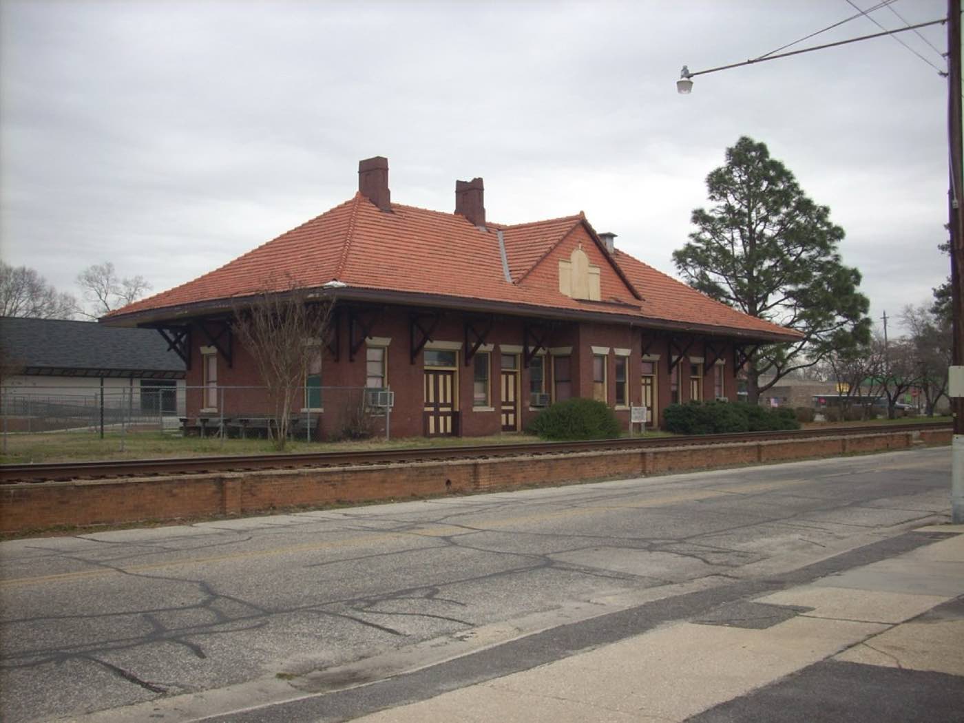
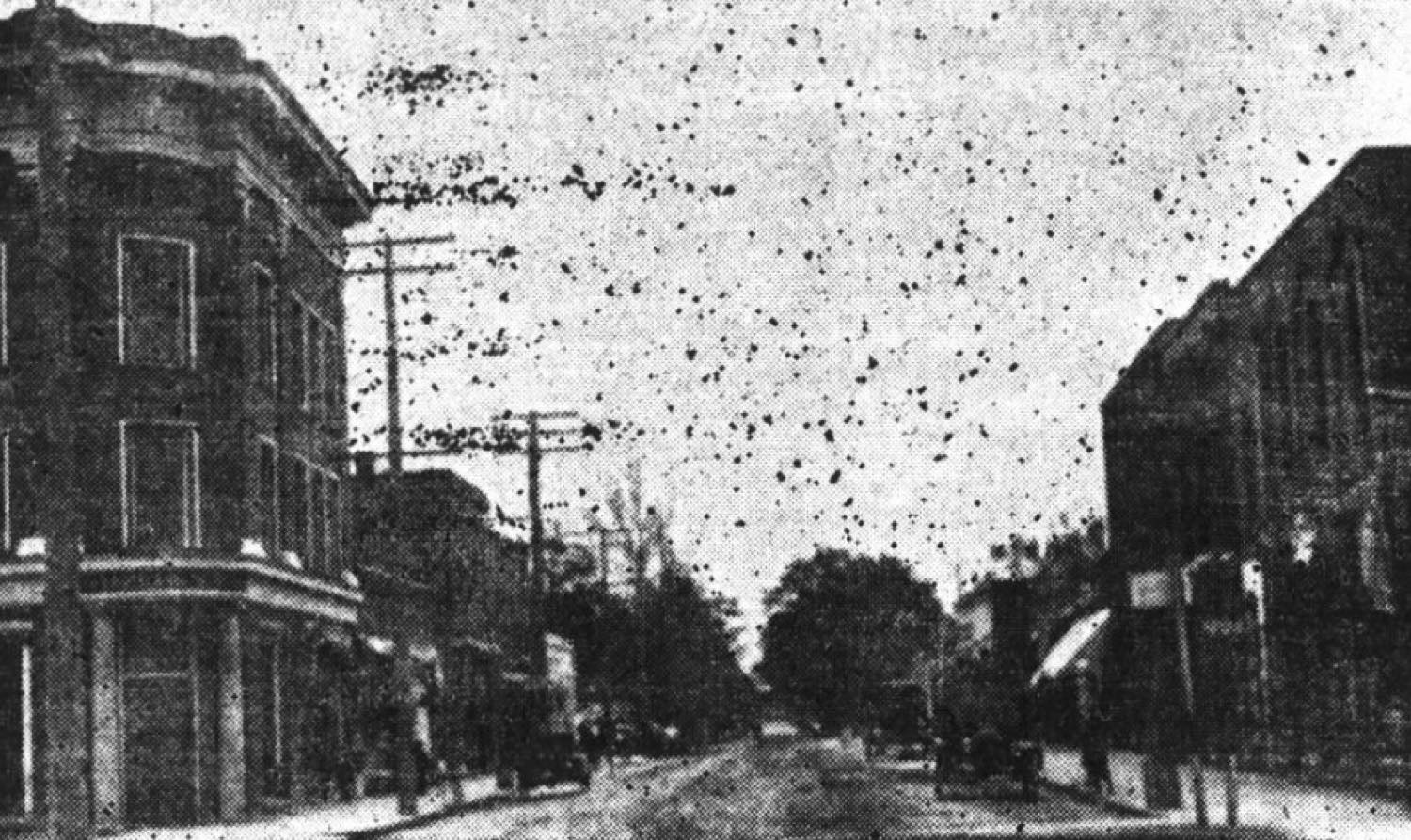
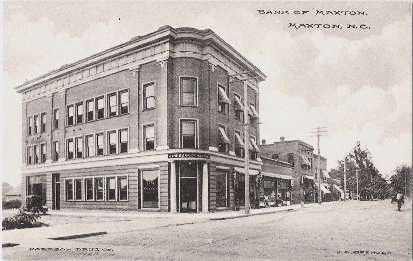
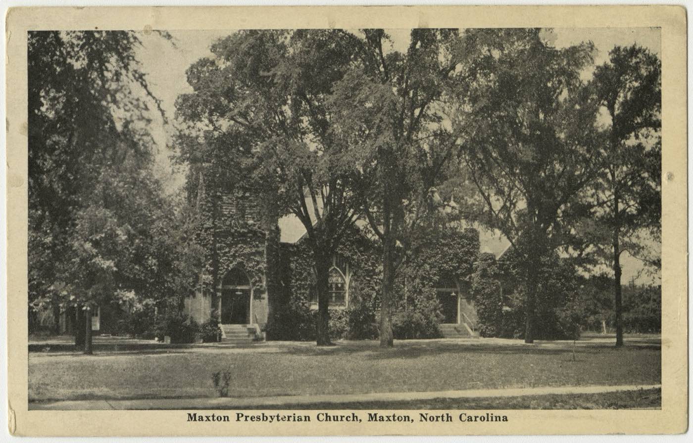
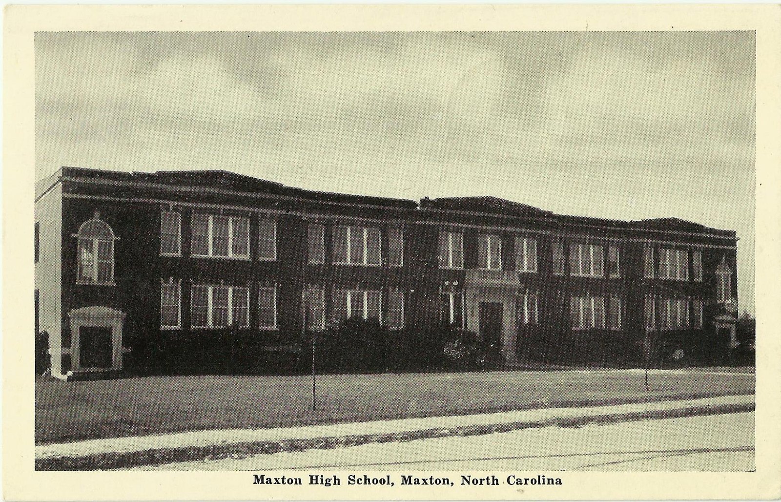
Maxton was chartered in 1874 at a railroad crossing once called Shoe Heel. What follows is the town as outsiders and residents photographed it — on postcards sold in local drug stores, and by a government photographer who came through during the Depression.
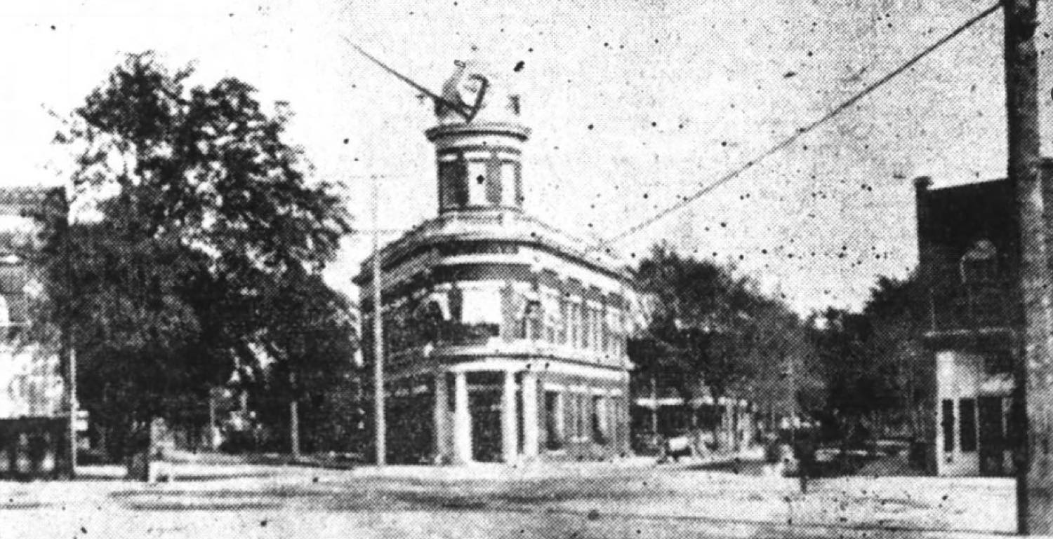
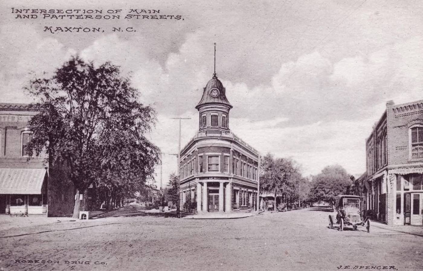
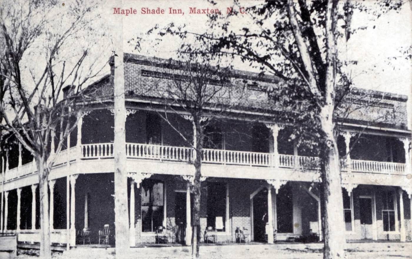
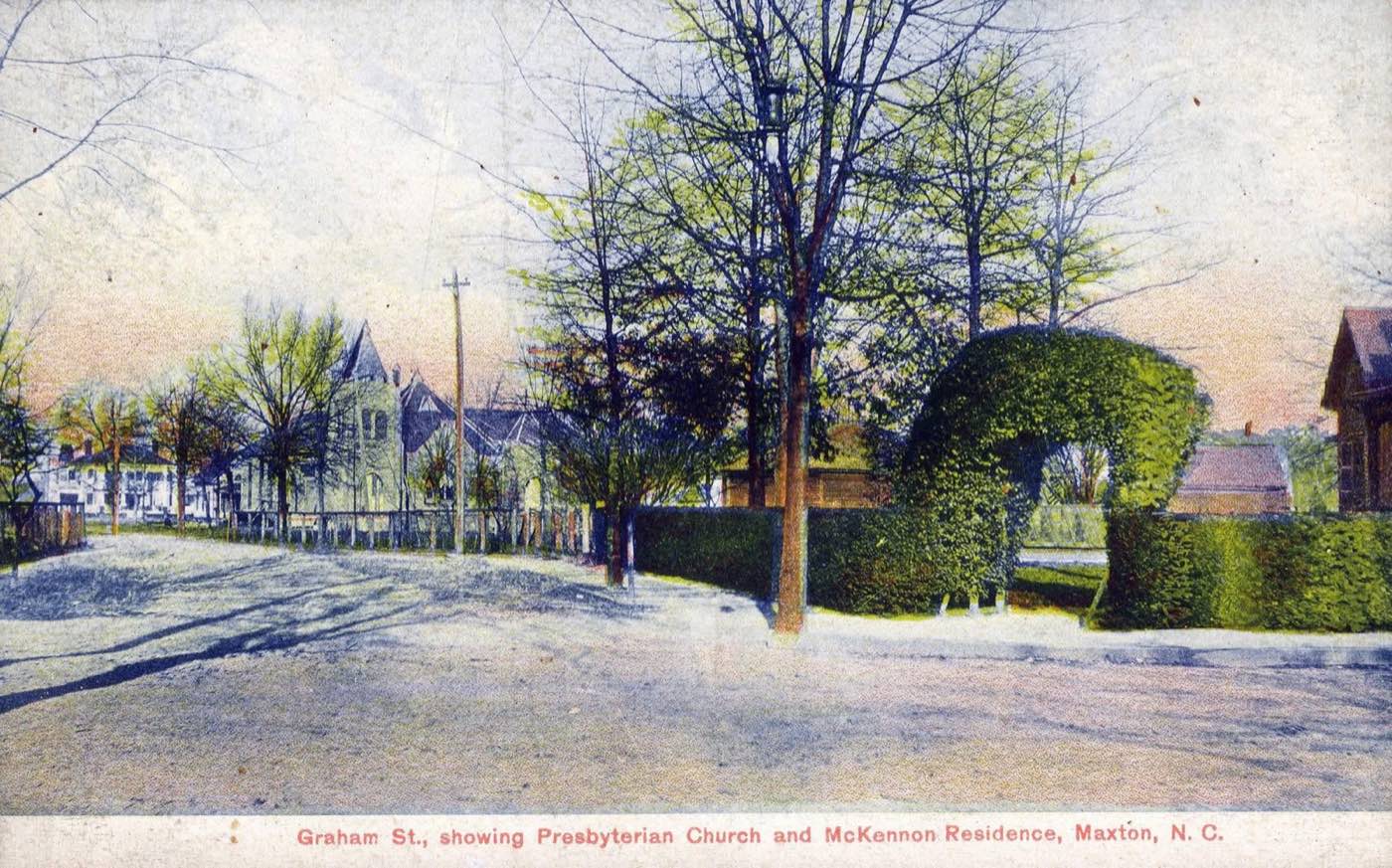
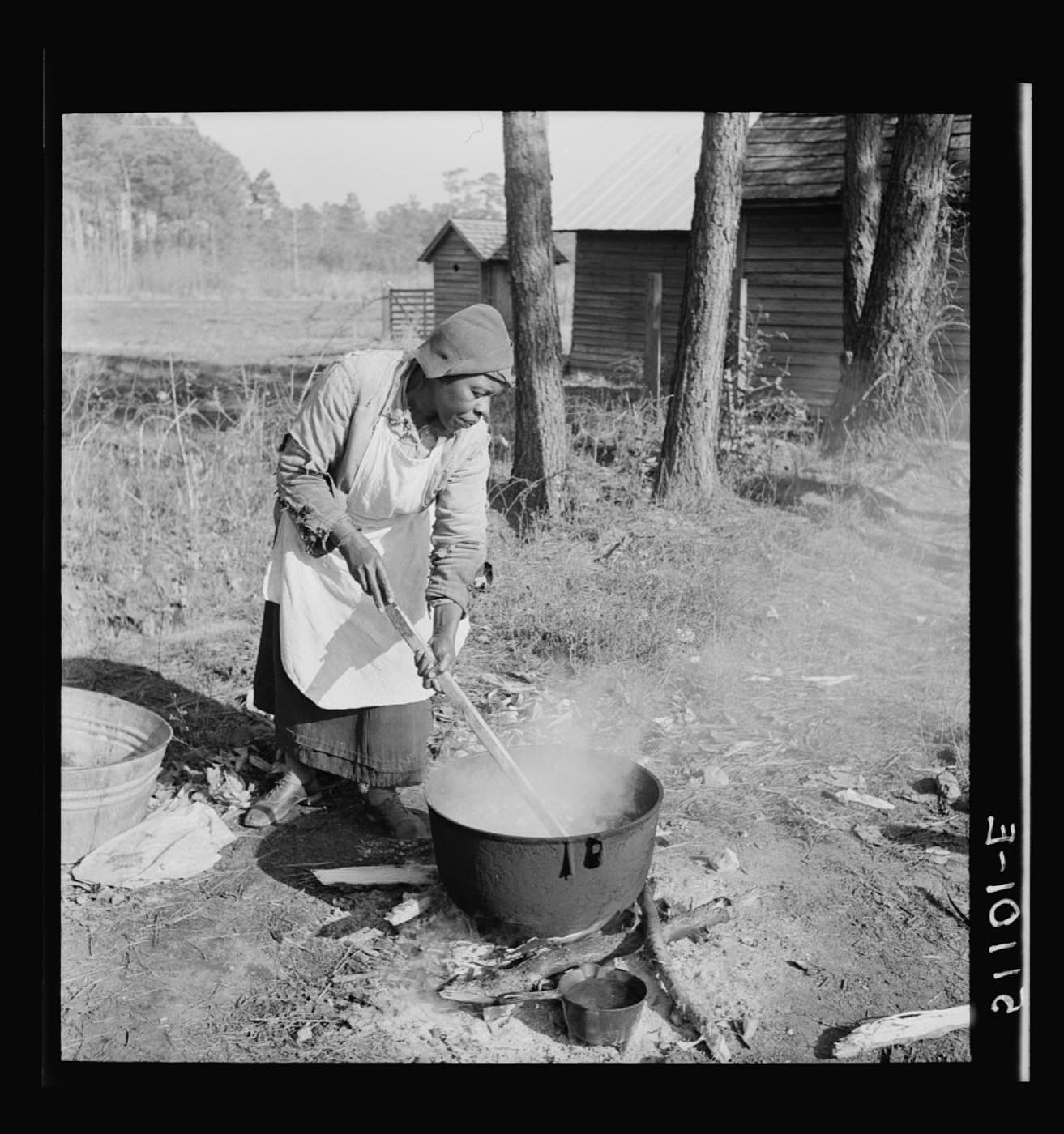
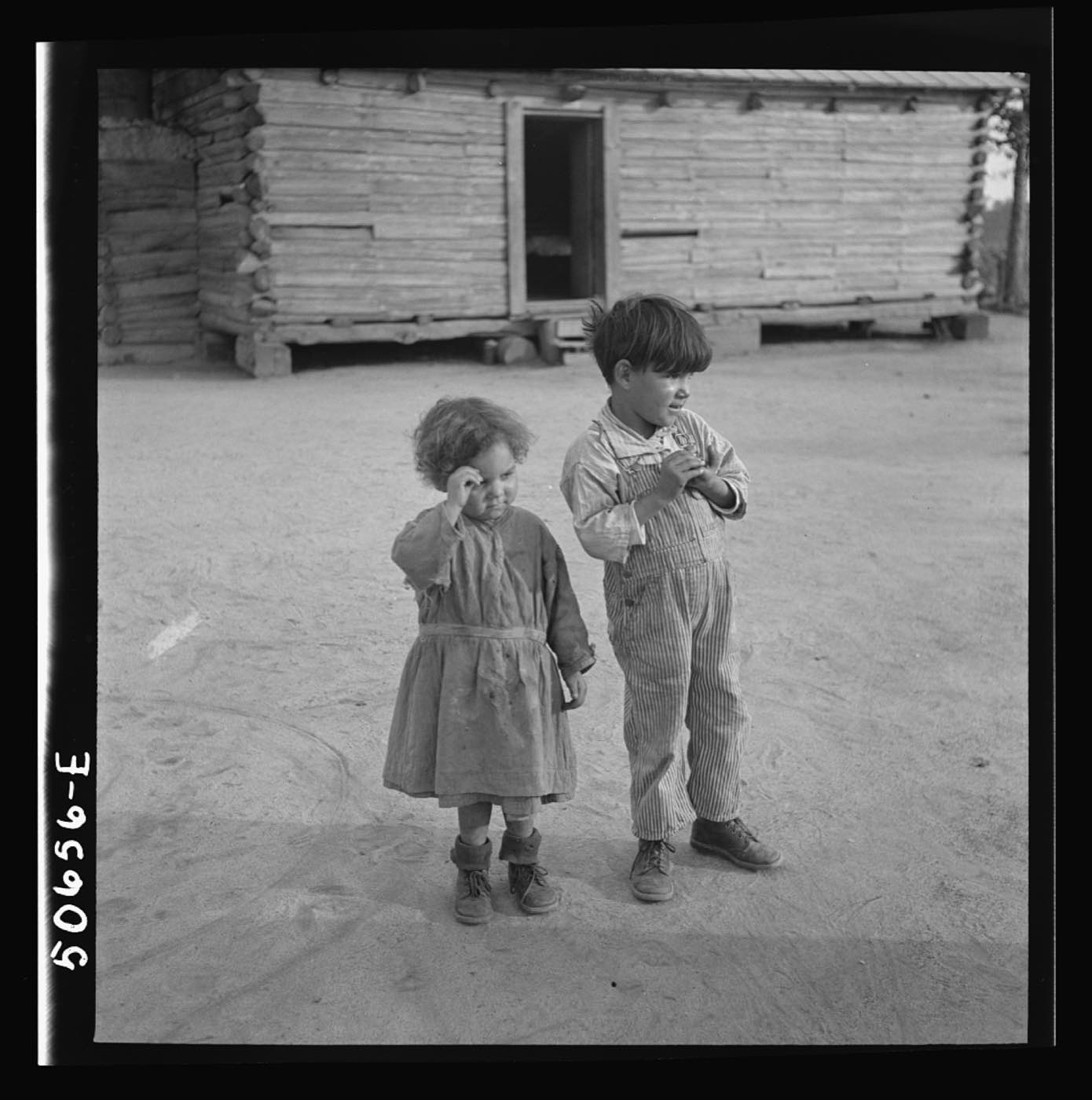
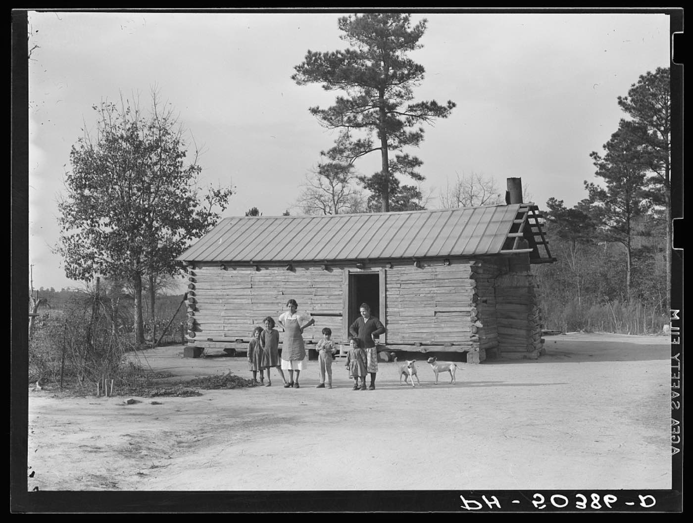
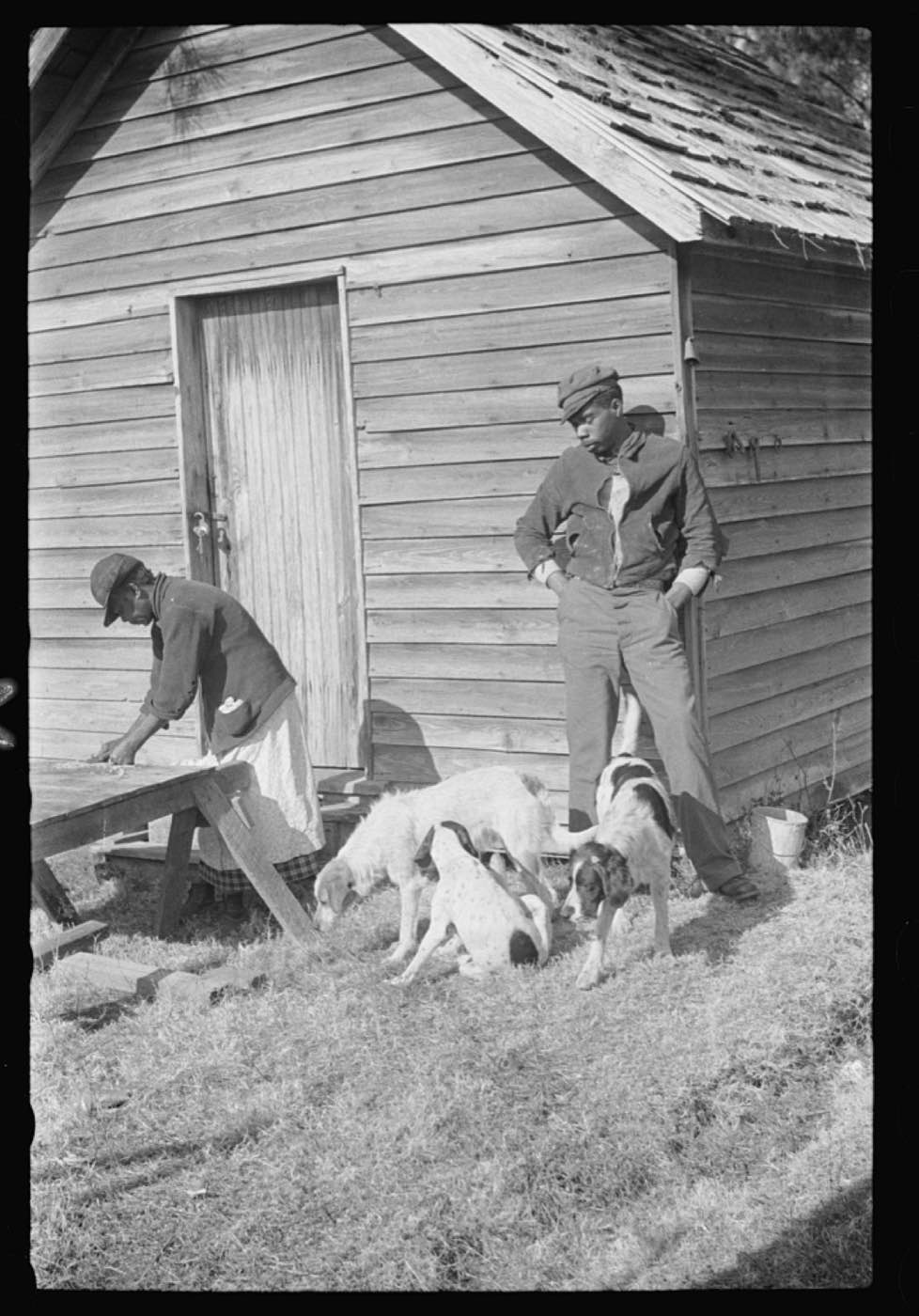
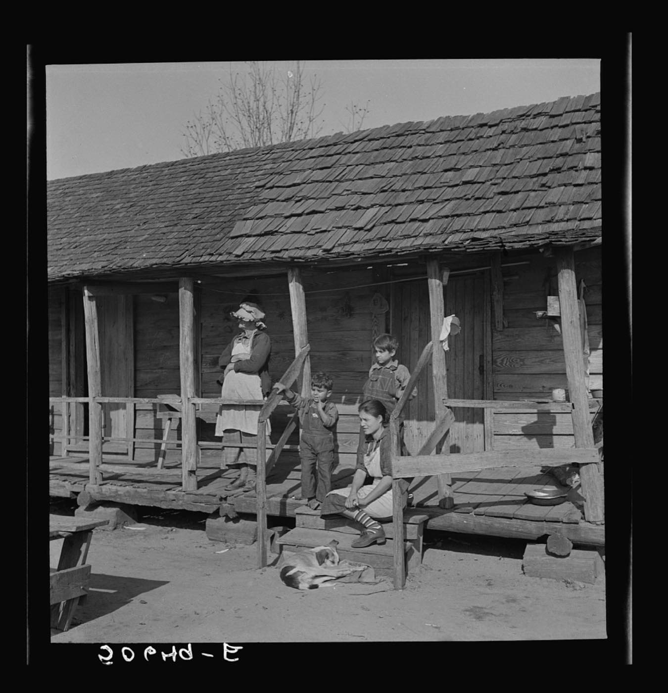
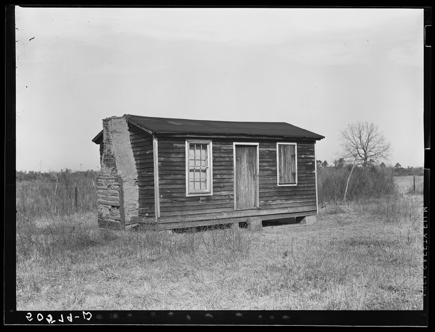
In 1938 the federal government established Pembroke Farms, a New Deal resettlement community for Lumbee families near Maxton. The Farm Security Administration sent Marion Post Wolcott — one of the era's major documentary photographers — to record it. These are her photographs.
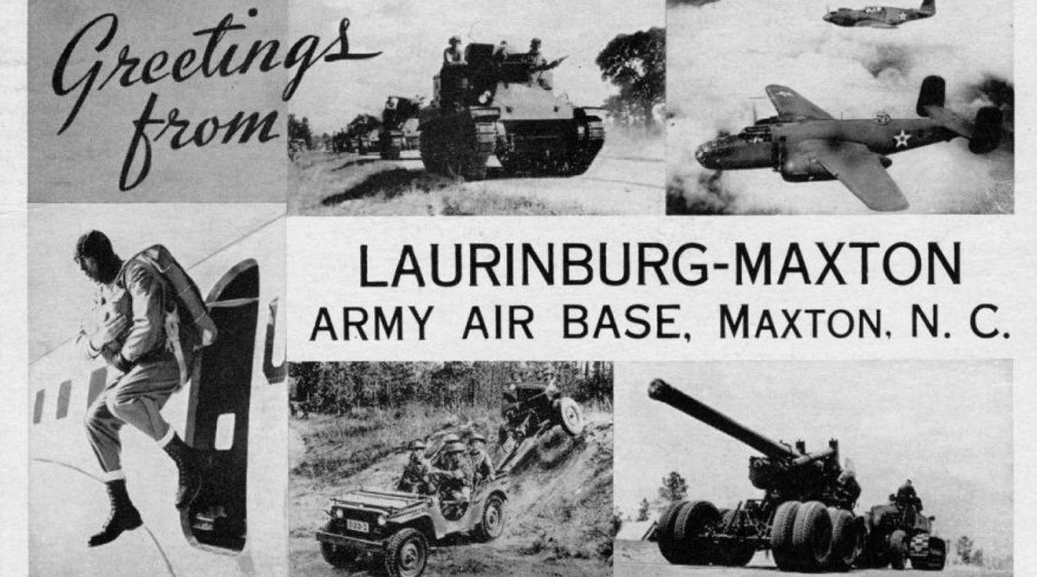
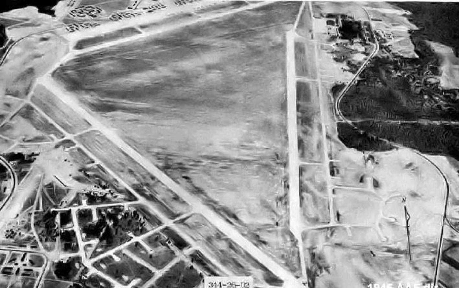
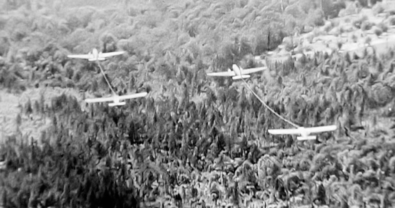
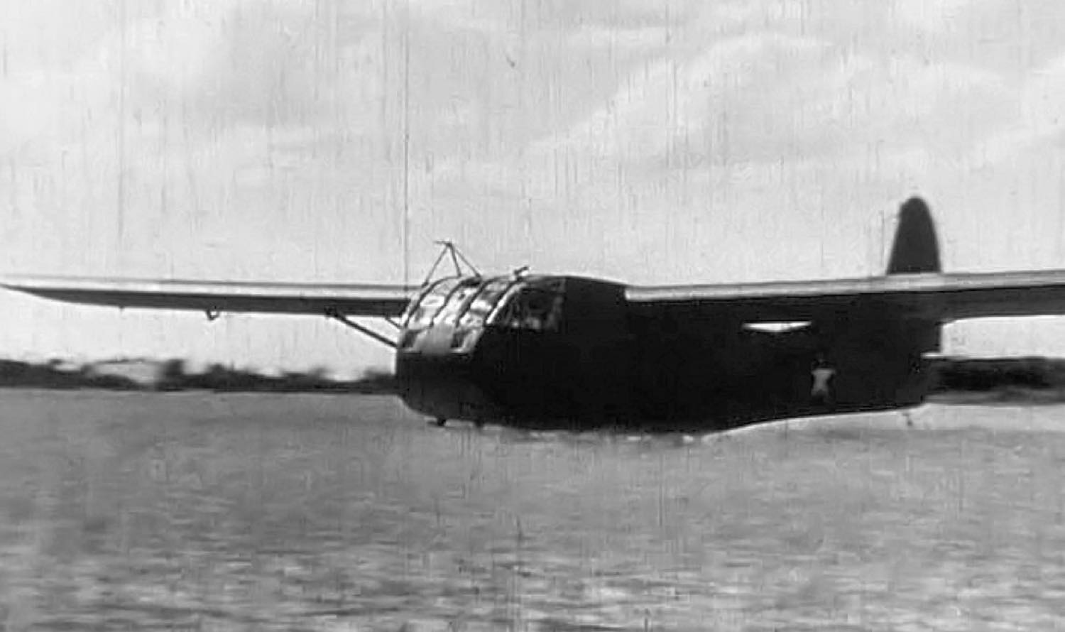
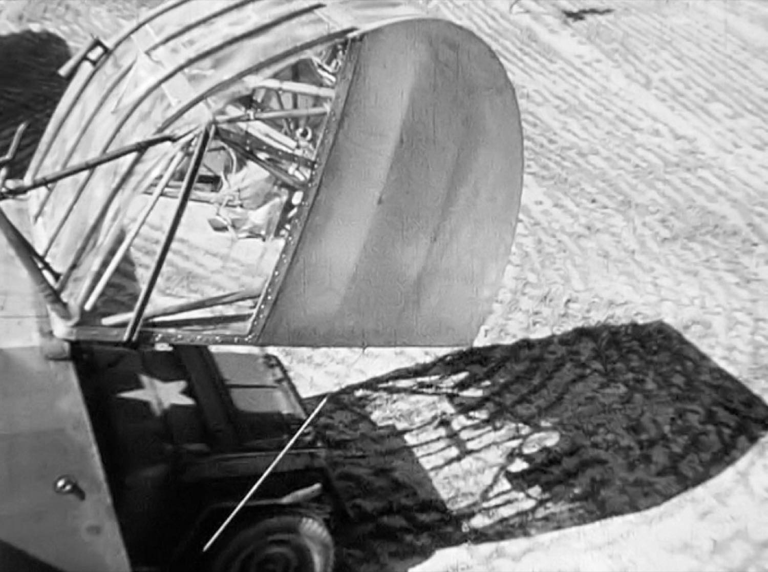
During the Second World War the largest glider training base in the world was built on Maxton's doorstep. Troop-carrying CG-4 gliders were towed aloft by C-47s, cut loose, and landed in fields with jeeps and artillery inside them — the same technique used at Normandy. Thousands of airborne troops trained here. The Maxton Museum on Graham Street holds special collections on the base.
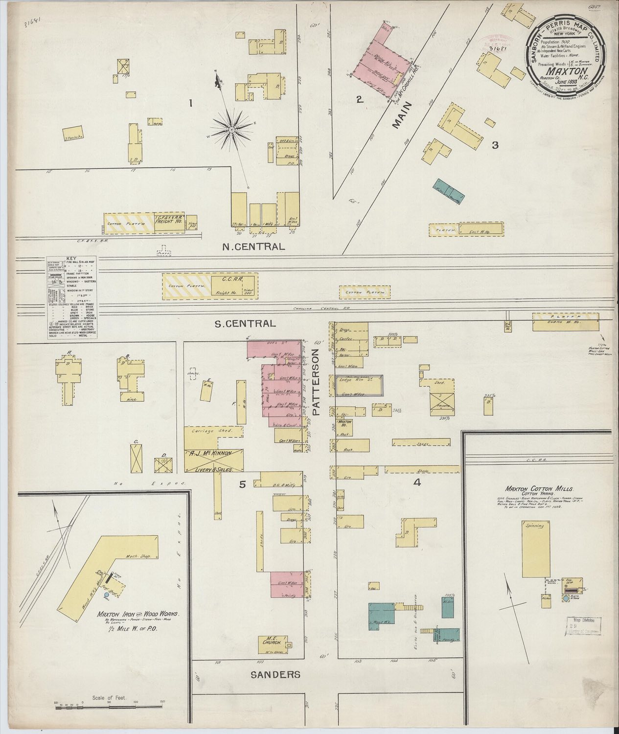
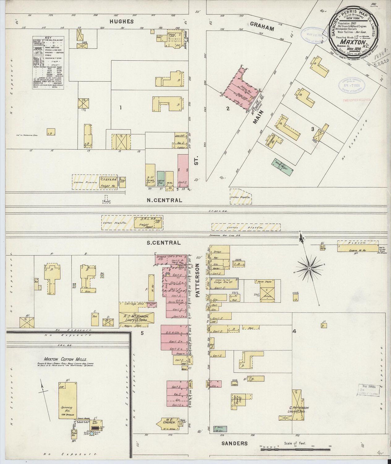
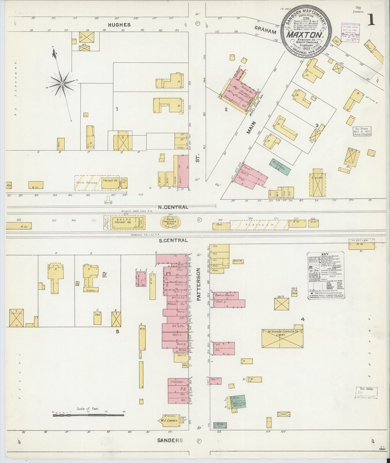
Before aerial photography, insurance companies sent surveyors to draw every structure in a town — its footprint, how many storeys, whether it was brick or frame, and what it was used for. The Sanborn maps are the closest thing we have to a photograph of the whole of Maxton, and they name streets and buildings that are long gone.